
Douglas Miller Y4
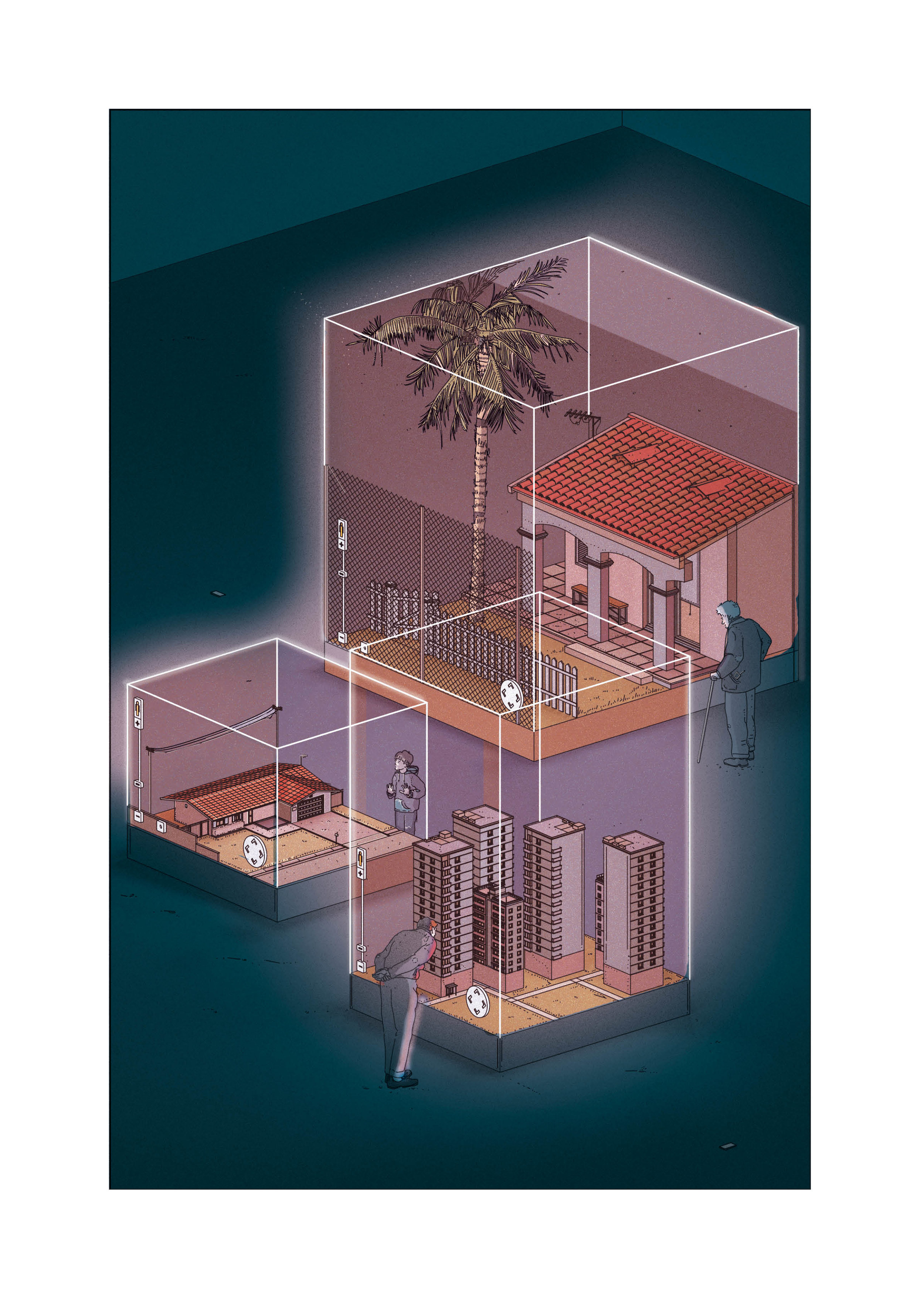
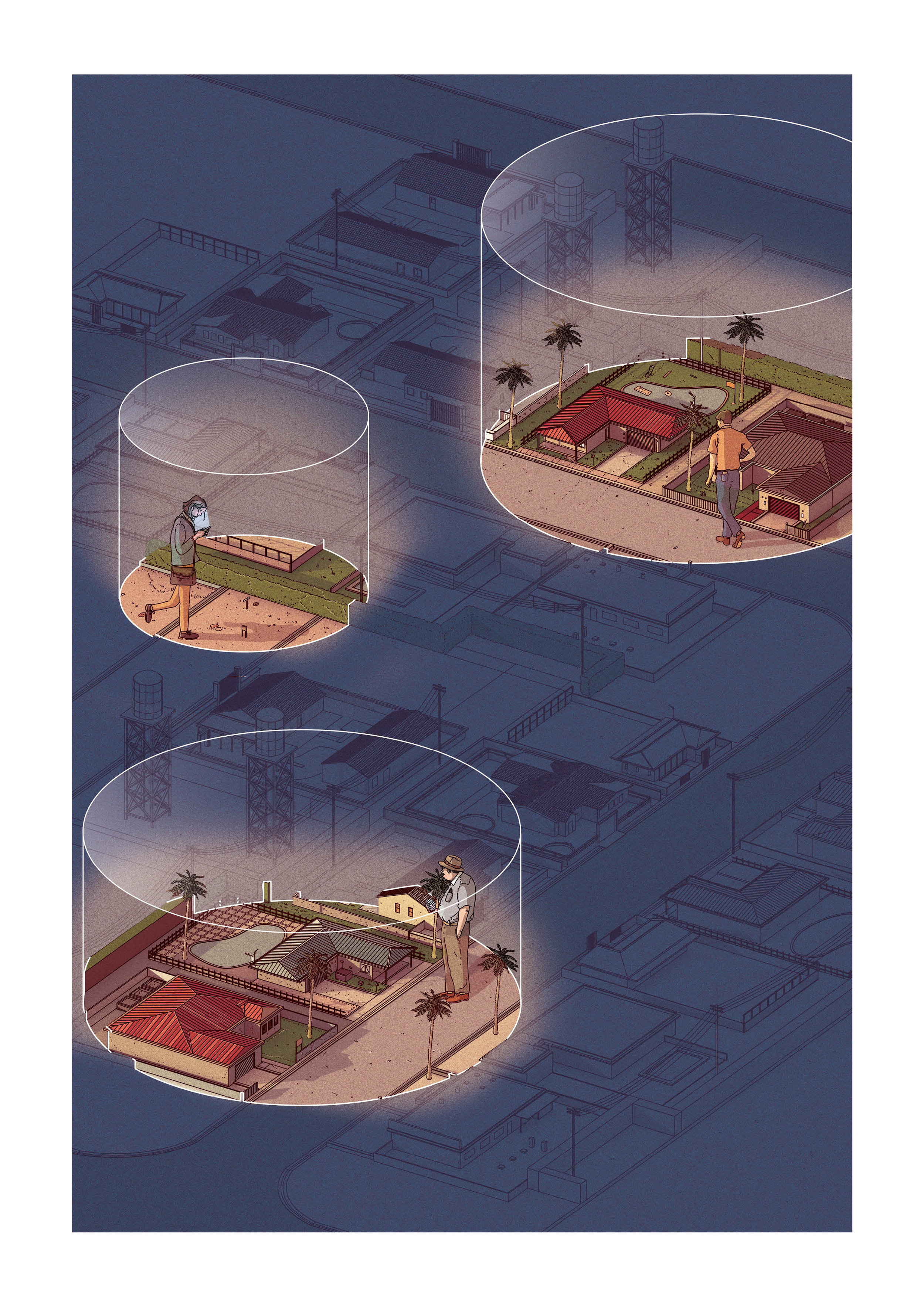
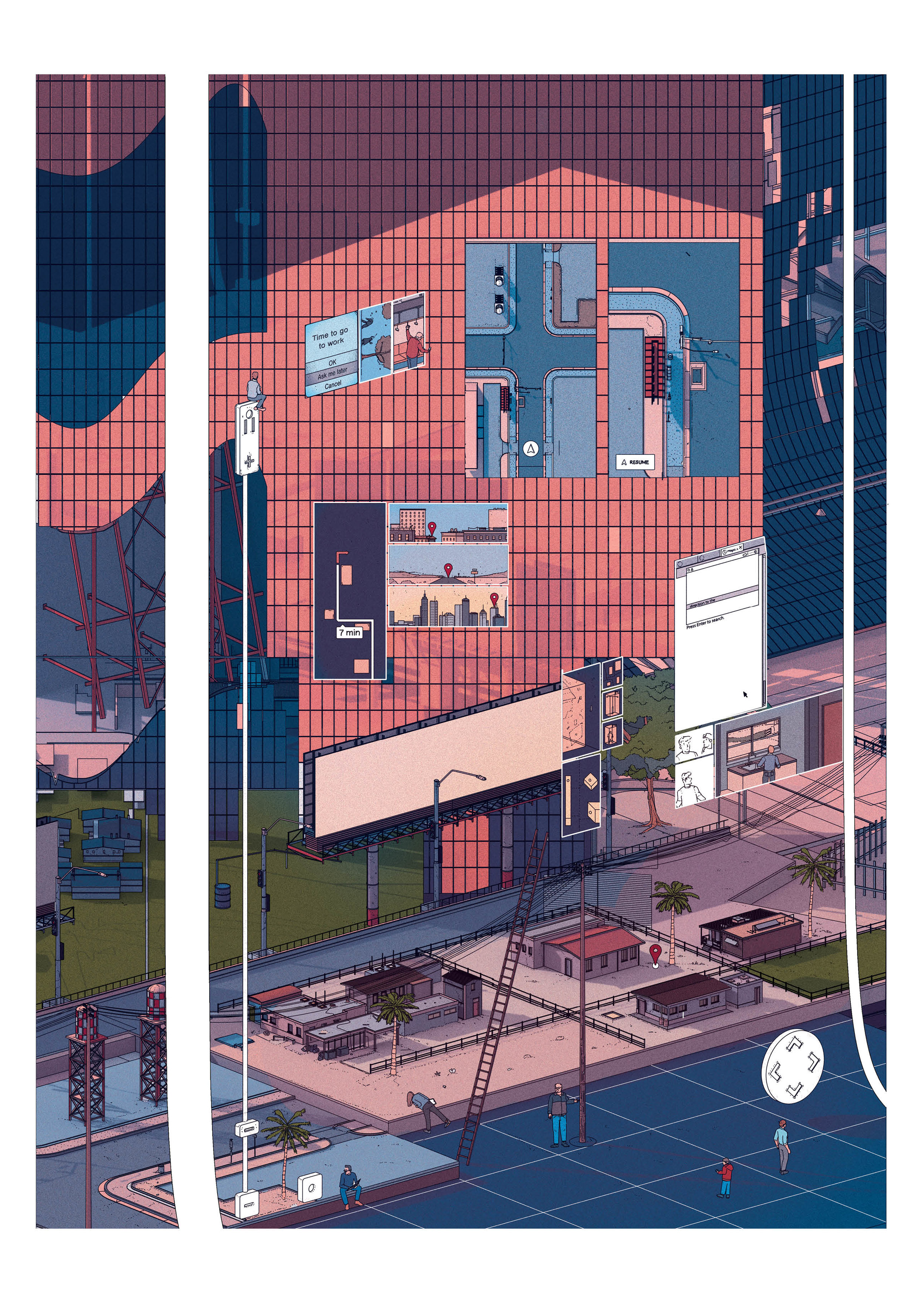
‘Mapped’ explores the divide between maps and the world they depict. Inspired by Jorge Luis Borges’ in Exactitude in Science in which a fantastical world exists where maps are so near perfection that only an exact, one to one, mapping of the world can surpass existing cartographic achievements. This short story outlines the absurd results on a social and geographical level. Through drawing and technical research, this project explores the manipulations and absurdities that are thrown up by comparing the bleeding edge technology of mapping and navigation to its two-dimensional predecessor.
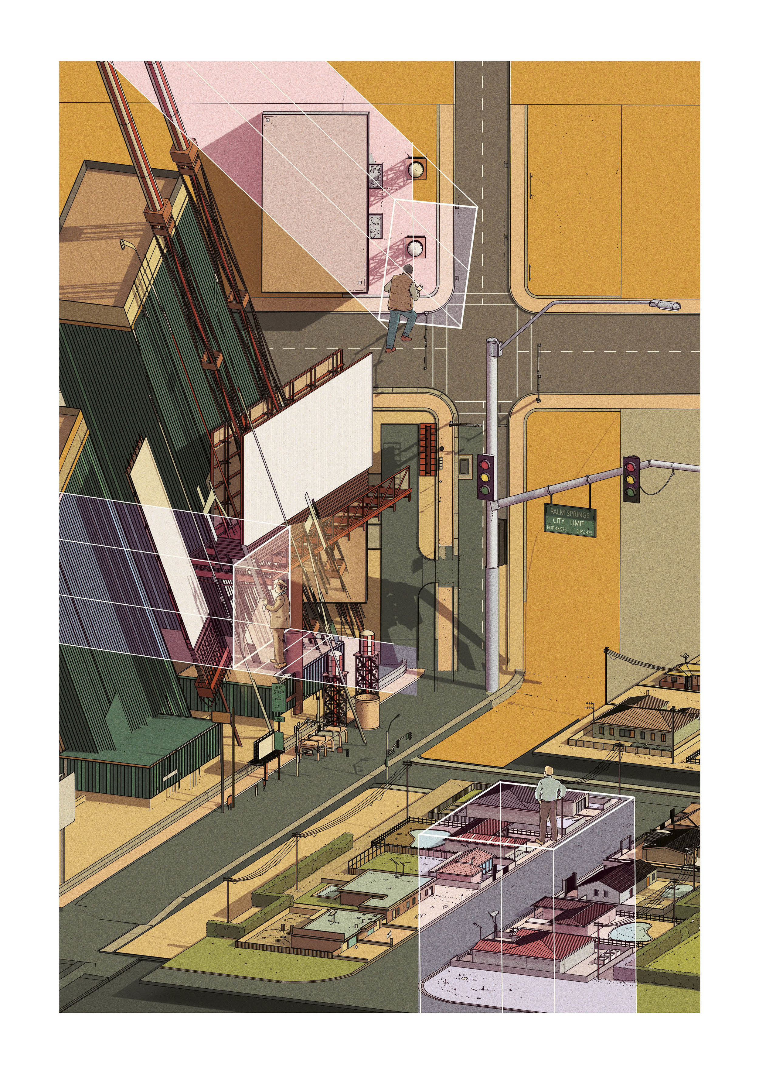
Made popular through the small pool multibillion dollar tech companies, LiDar is the technology of choice for self-driving cars navigational systems. It is these cars that seek to disrupt an automotive-centric American landscape. However, whilst boundaries drawn by the Jefferson era Americans calculated borders according to resources and land equality, the era of the car will redraw lines according to new agendas that have yet to be fixed. The impact of commutes, social media, 3D scans and point clouds may be comparable to the Gold Rush of the 19th century in establishing the new borders of California.
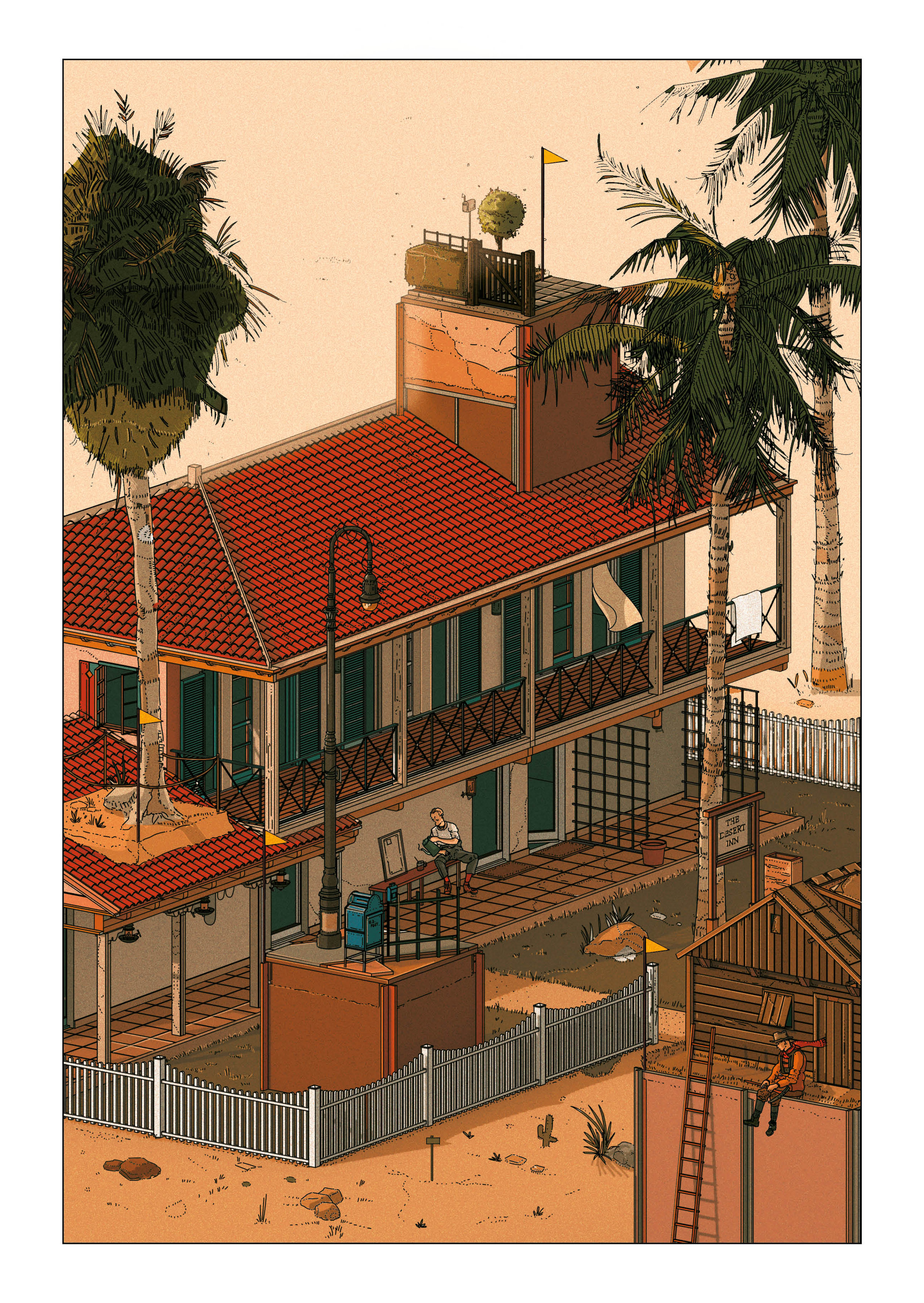
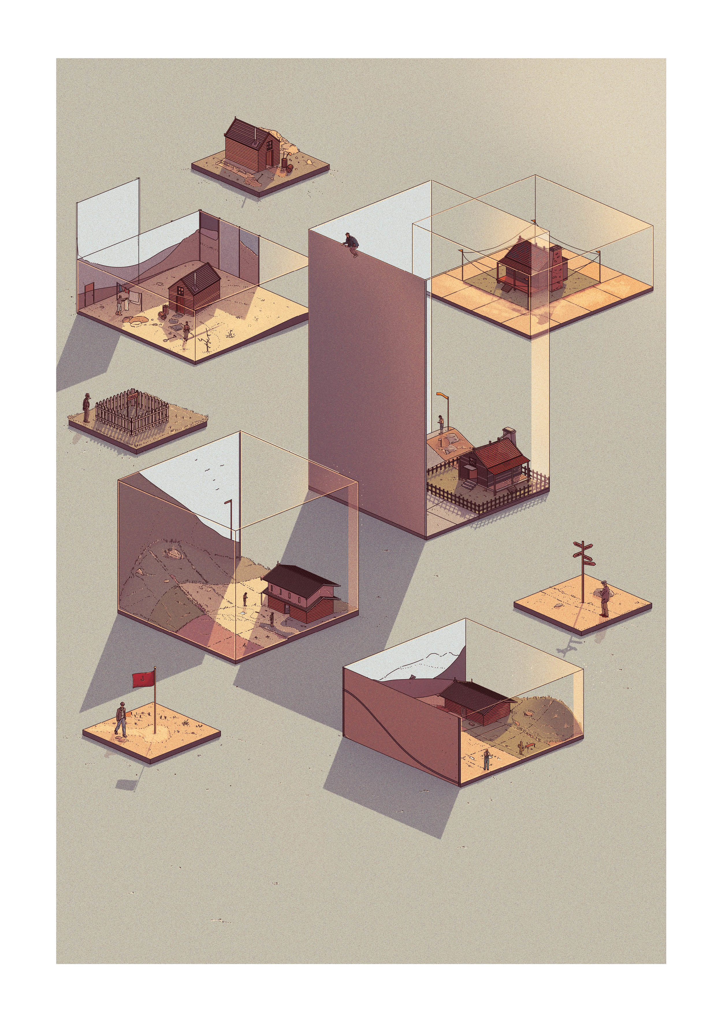
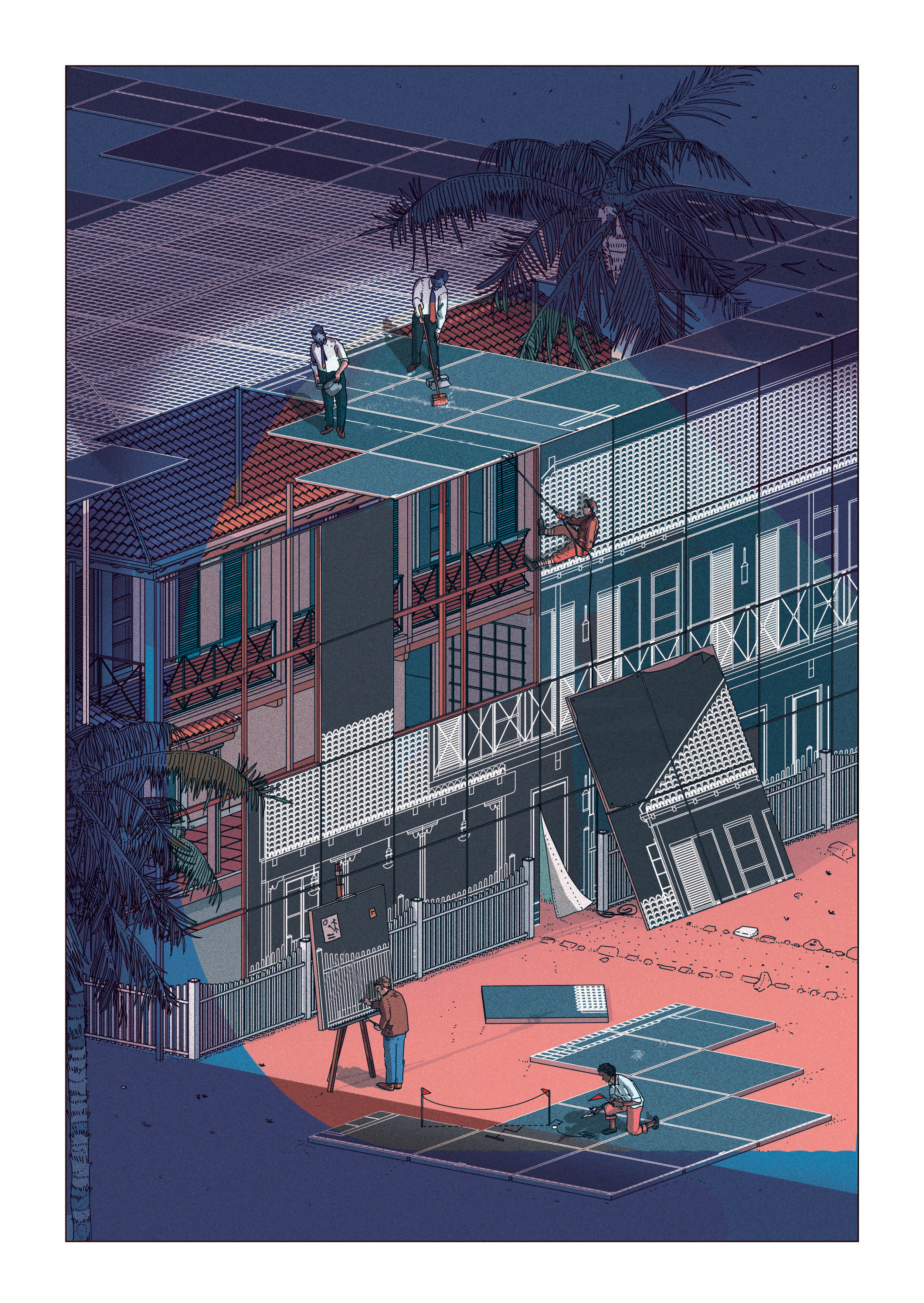
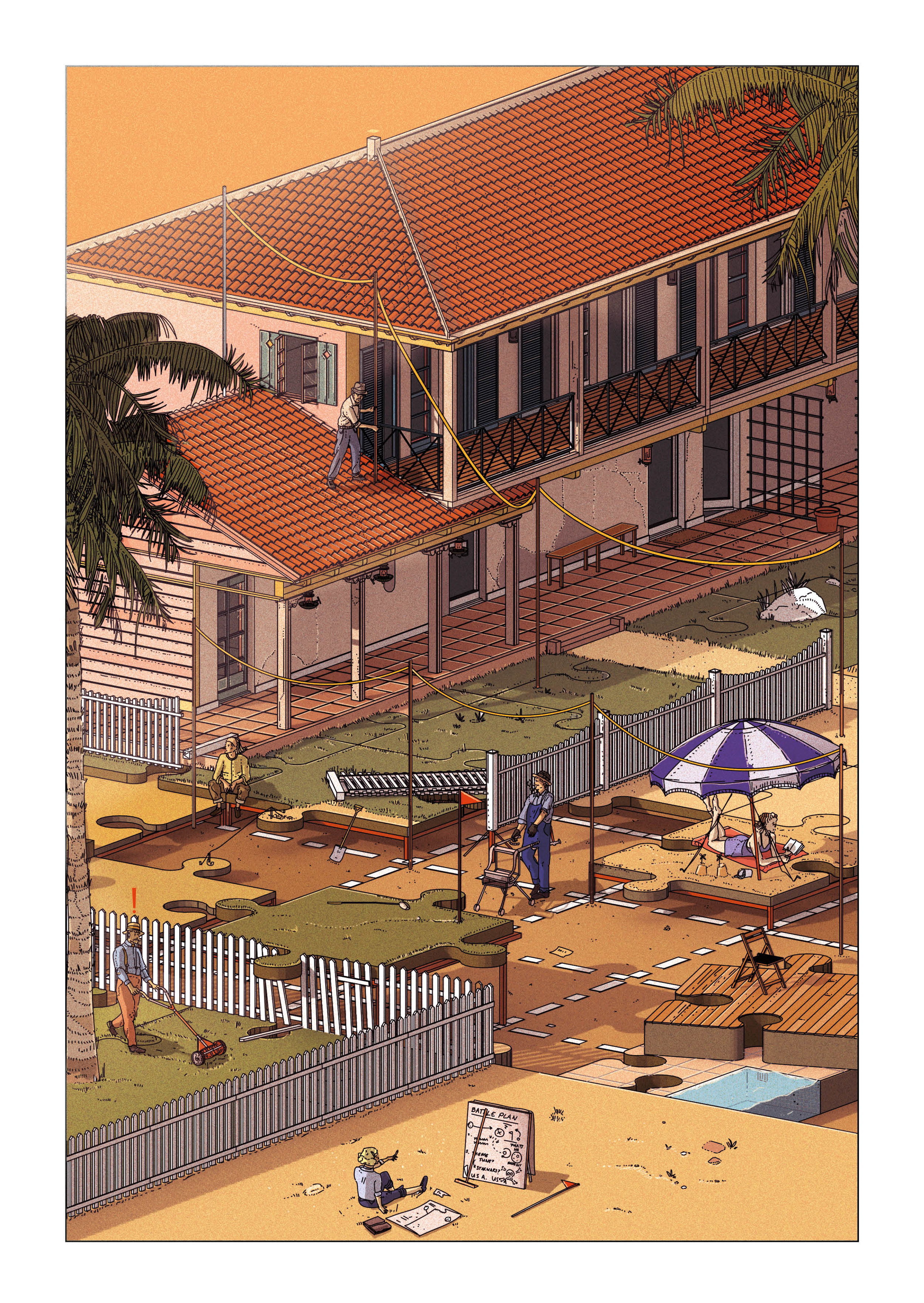
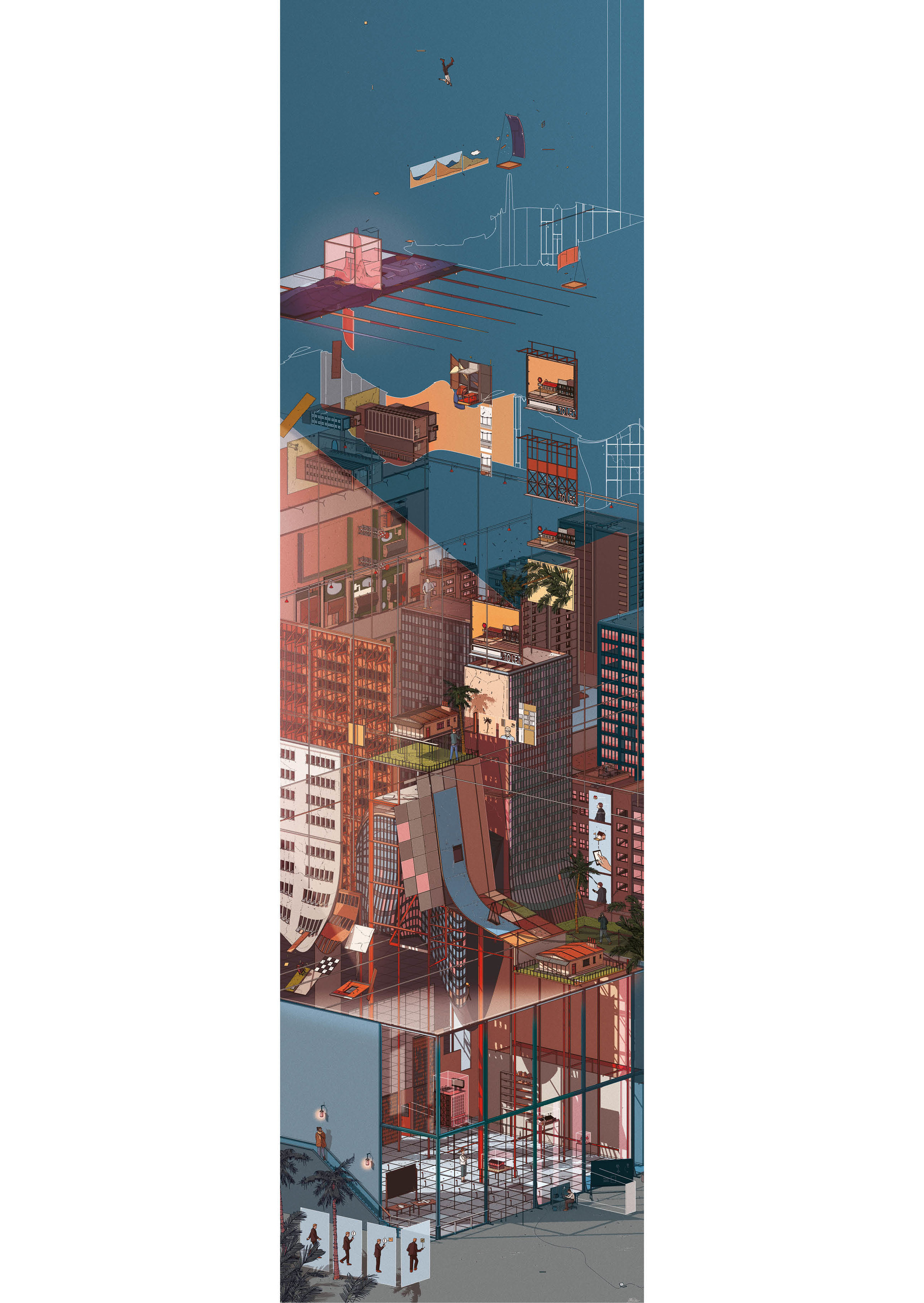
Whilst these technologies may change an environment that has long been associated with the billboards and roadside architecture of the Learning from Las Vegas strip it will be the architectural response, designed to confuse maps makers by becoming ‘unplottable’, that will be the new roadside rest stop. It is entirely possible that the form a human eye sees will no longer be the focus of a buildings design – there is potential for completely invisible layers of materials contained within façades to have a drastic effect on the way LiDar reliant cars navigate and record a road.
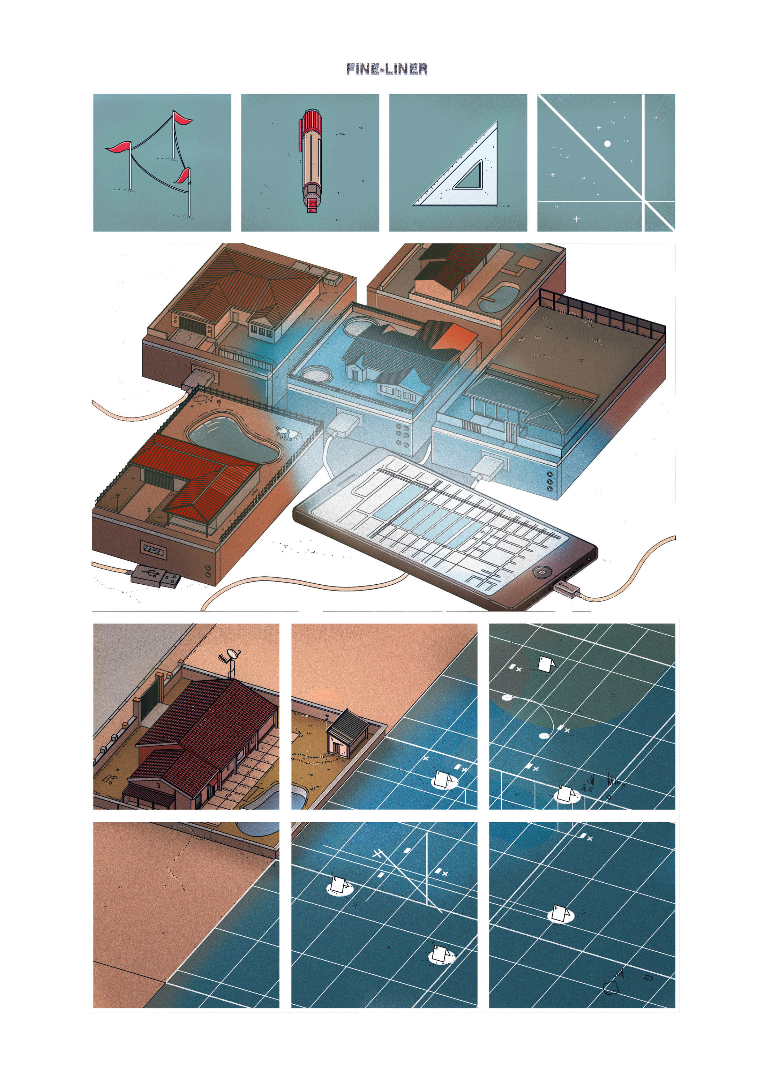
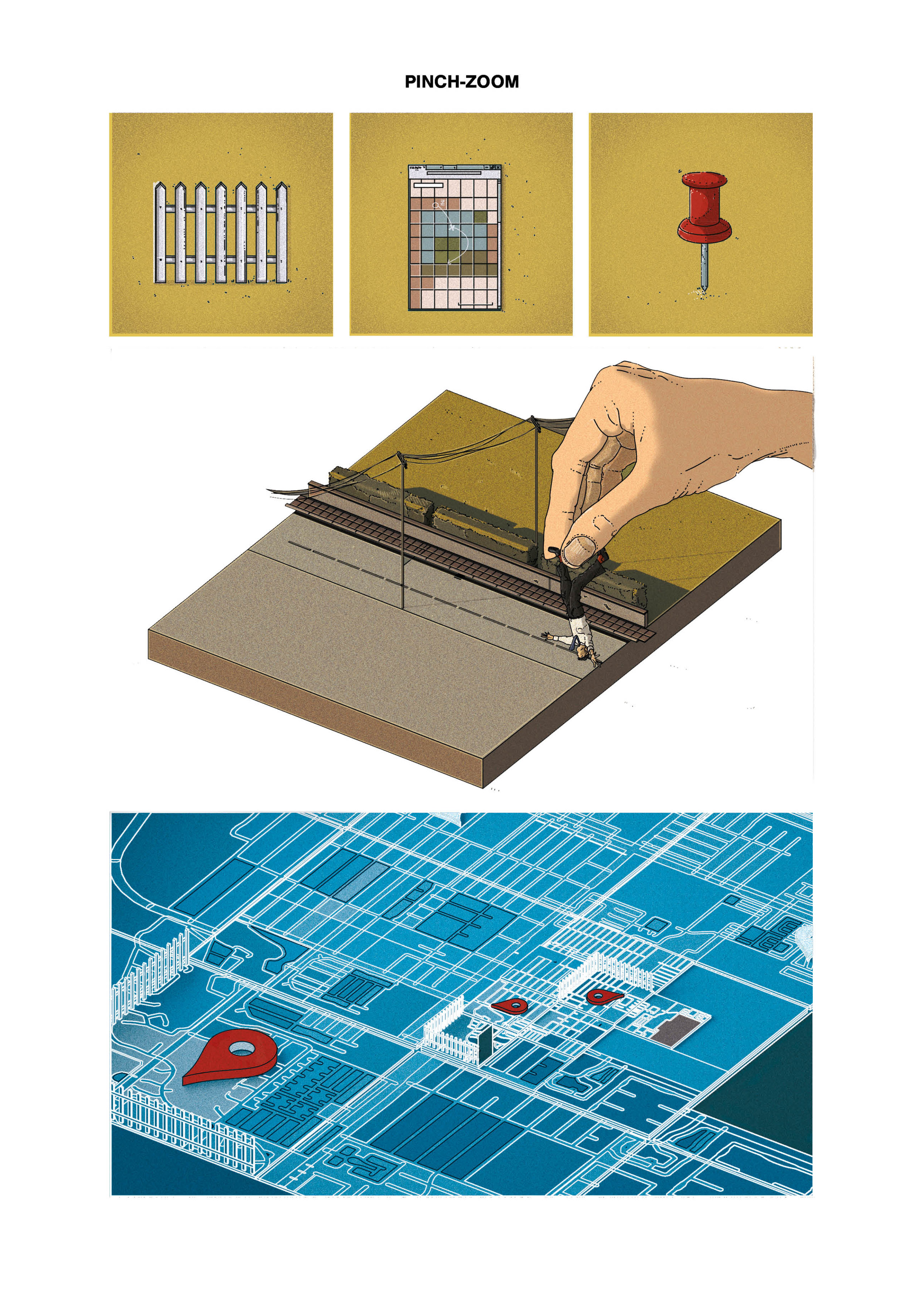
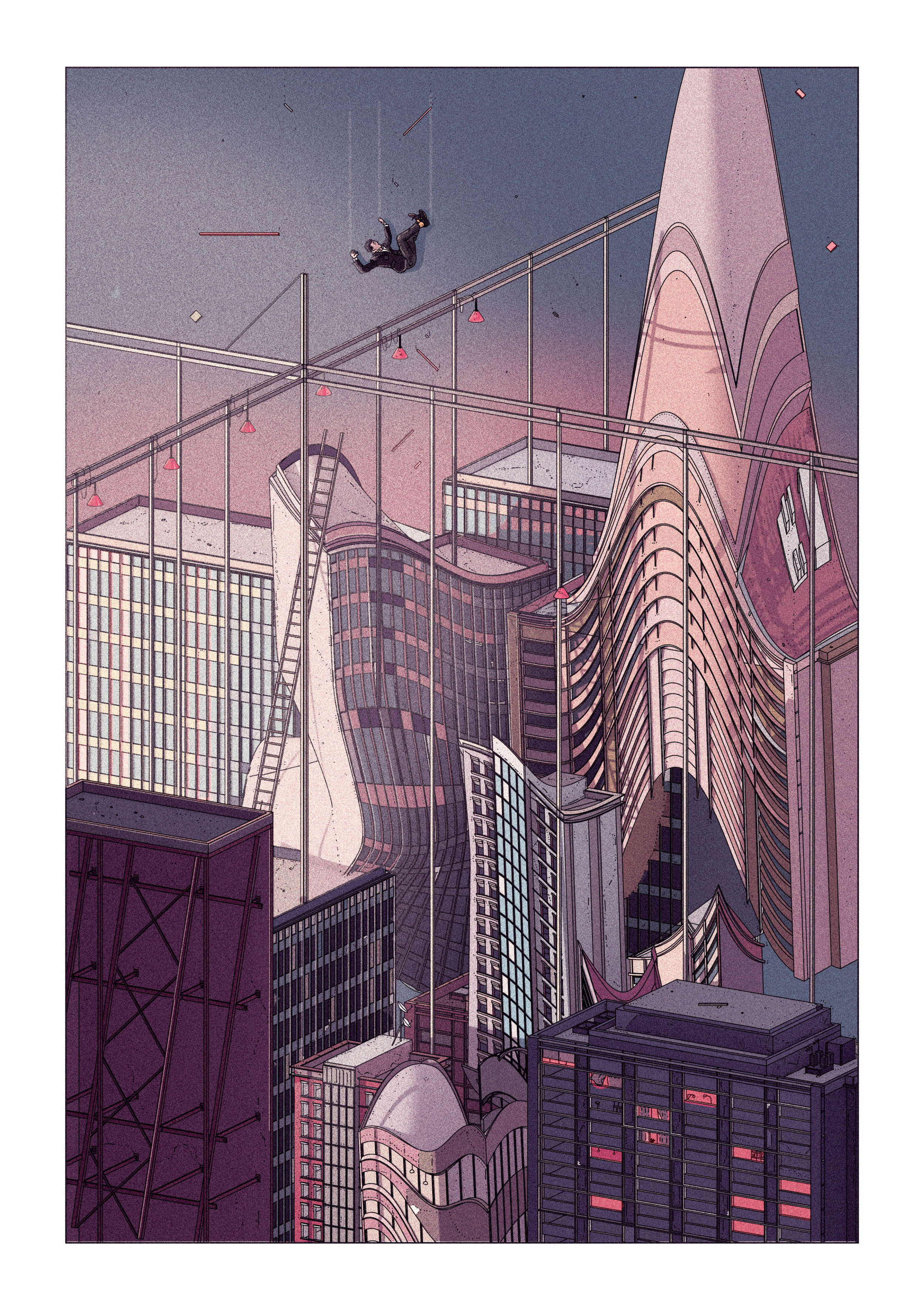
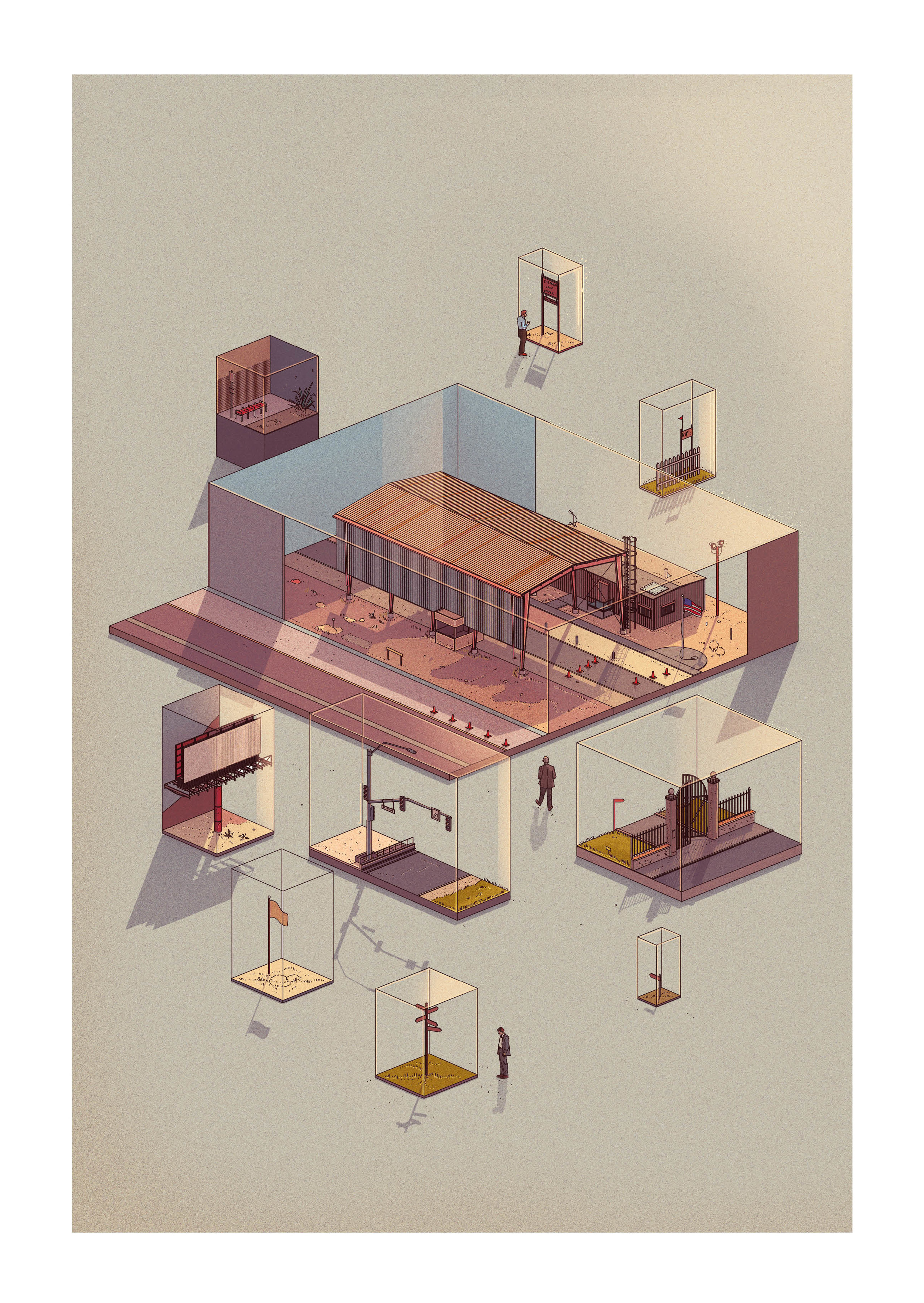
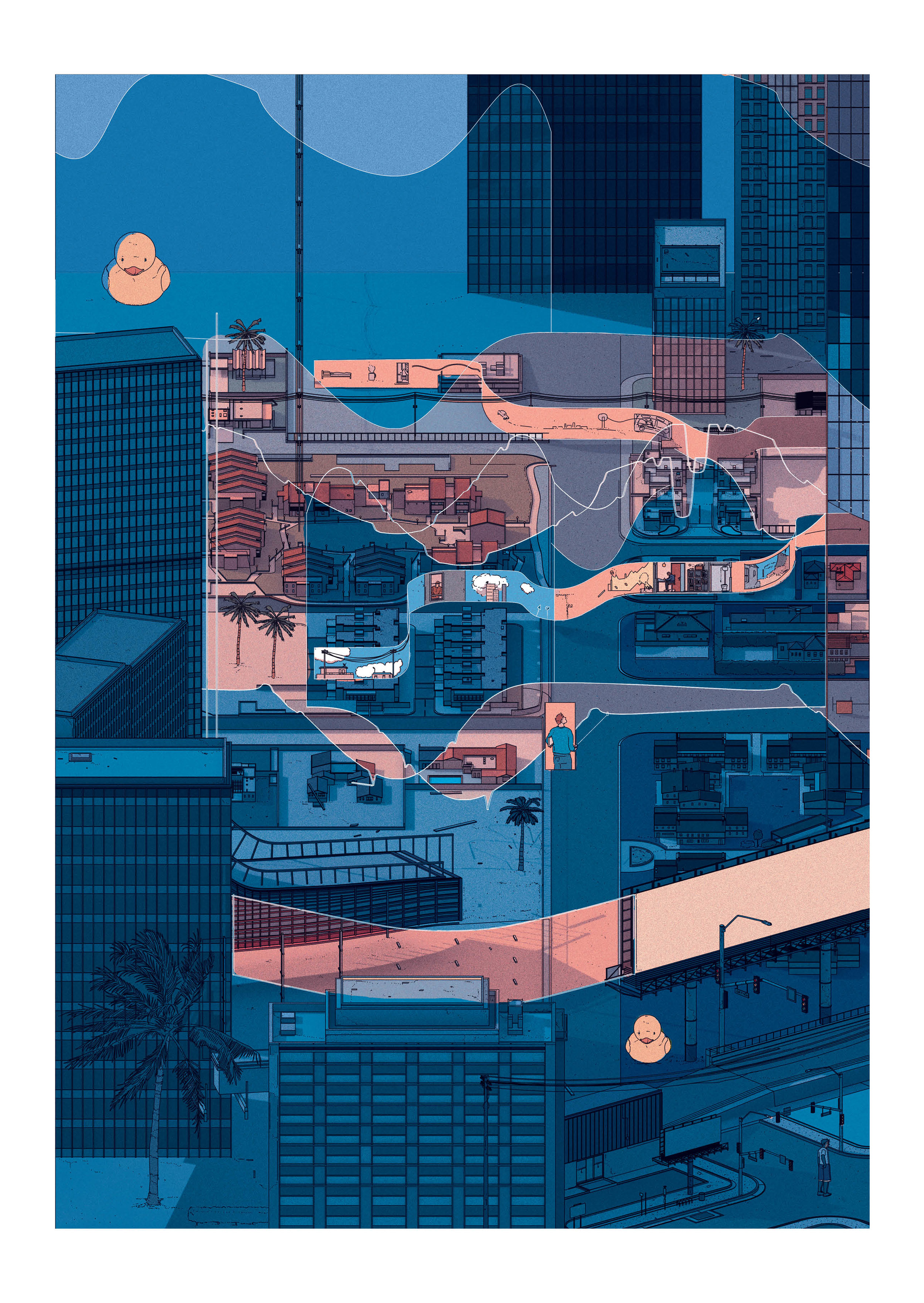
A new graphical practice might be required to draw together the hard lines of the old maps that have been based on surveying real spaces and the new maps that may be developed from changeable digital scans. A new series of drawings in Mapped marry atmospheric illustration, associated with a newly discovered landscapes, with infallible technical data from the modern cartographer.