



Oliver Colman Yr 4
In the 1920s, amidst growing concern over the rapid urban sprawl of London, they championed the need for recreational green space around the city to provide respite for city-dwellers.
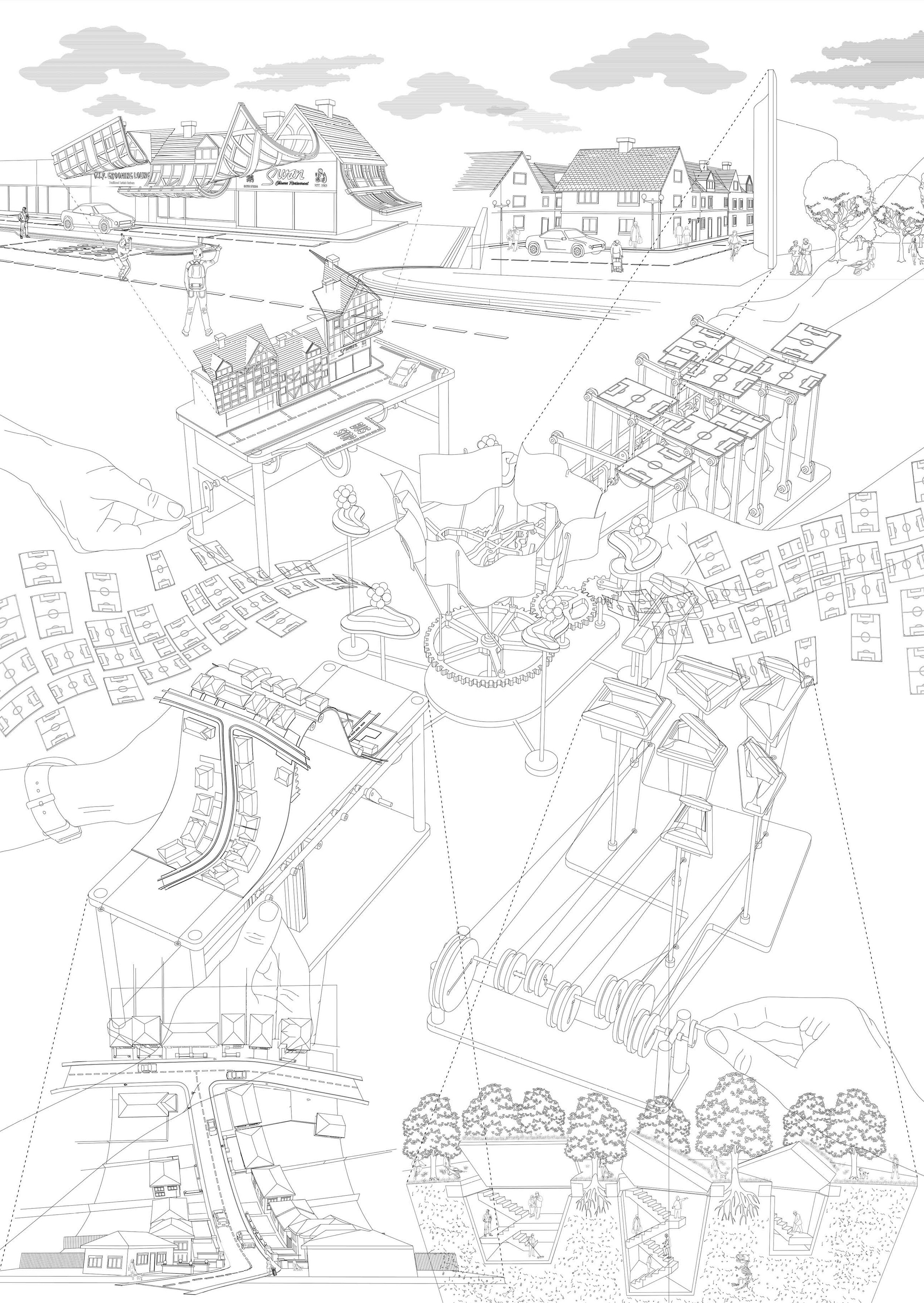
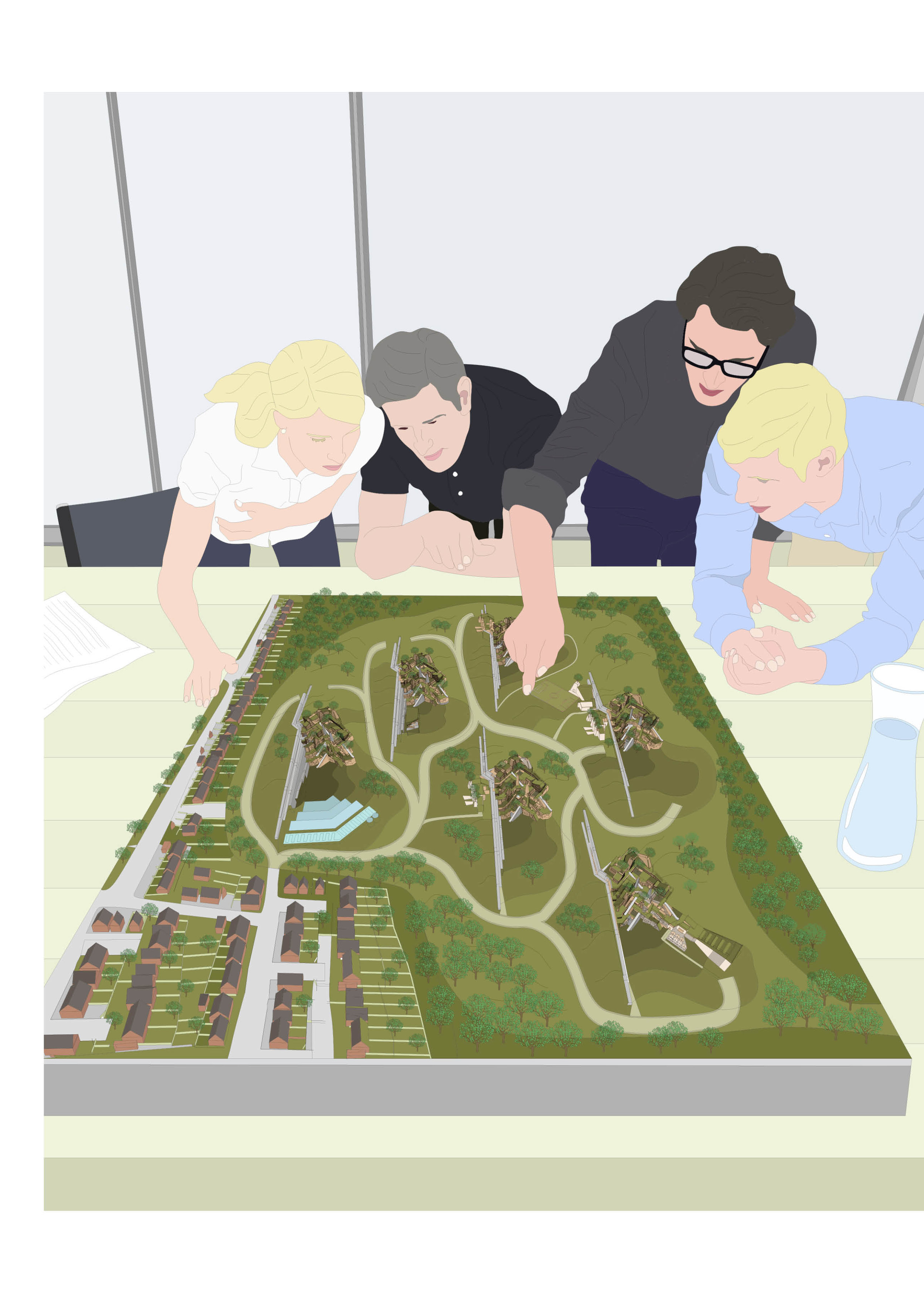
Today, the purpose and aims of the Green Belt remain much the same. The National Planning Policy Framework (2016) outlines the present-day objectives of the protected land according to the British government. By taking a series of individual paragraphs from the framework it is possible to question the occupation of the Green Belt land. A series of small dynamic models were made to challenge individual policy paragraphs through deliberate movements of concealing and revealing occupation at different scales. Each model explores the protected land around Epping, a town surrounded by Green Belt to the North of London in Essex, through augmented landscapes, faux historical façades and illusionary interventions.
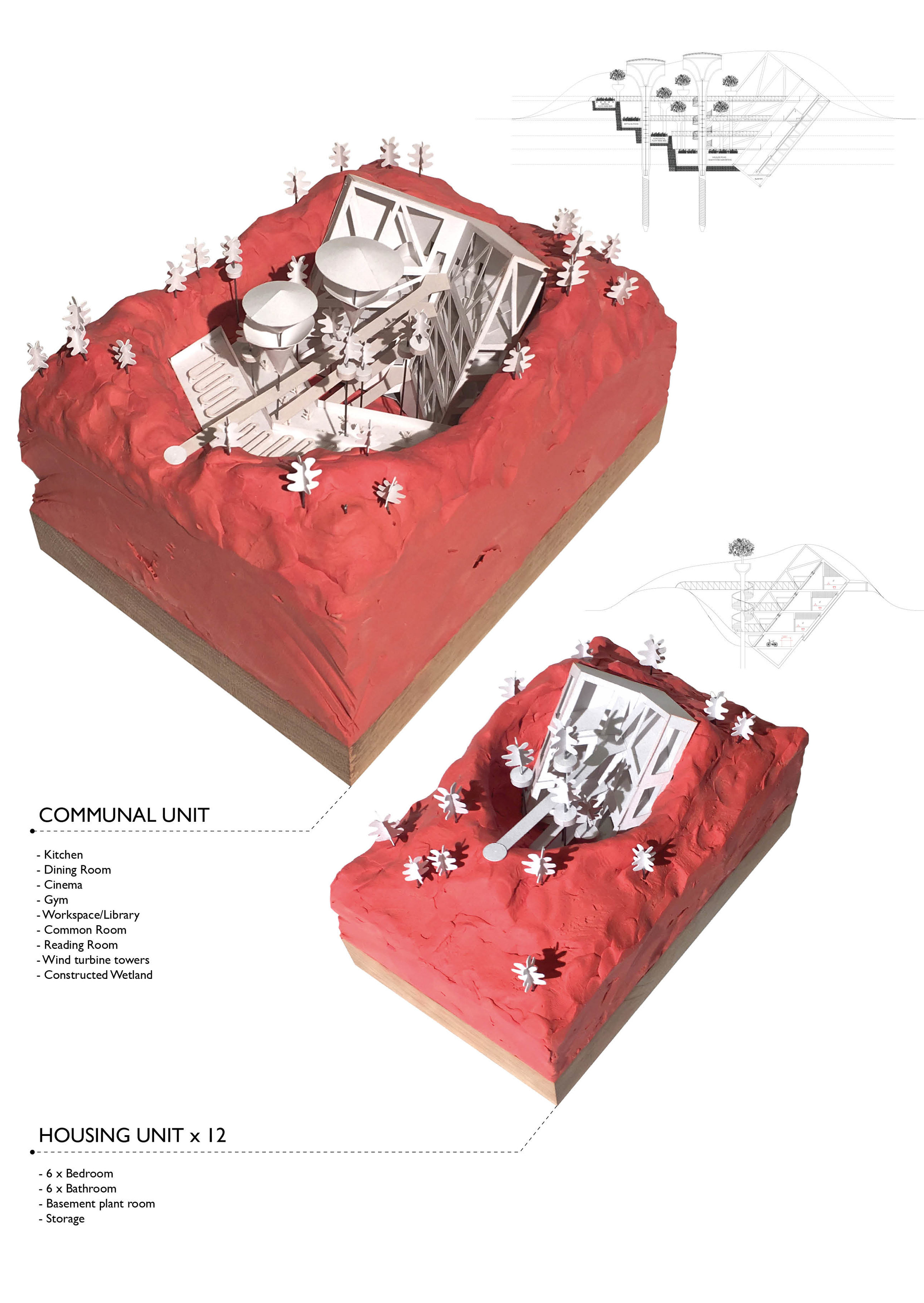
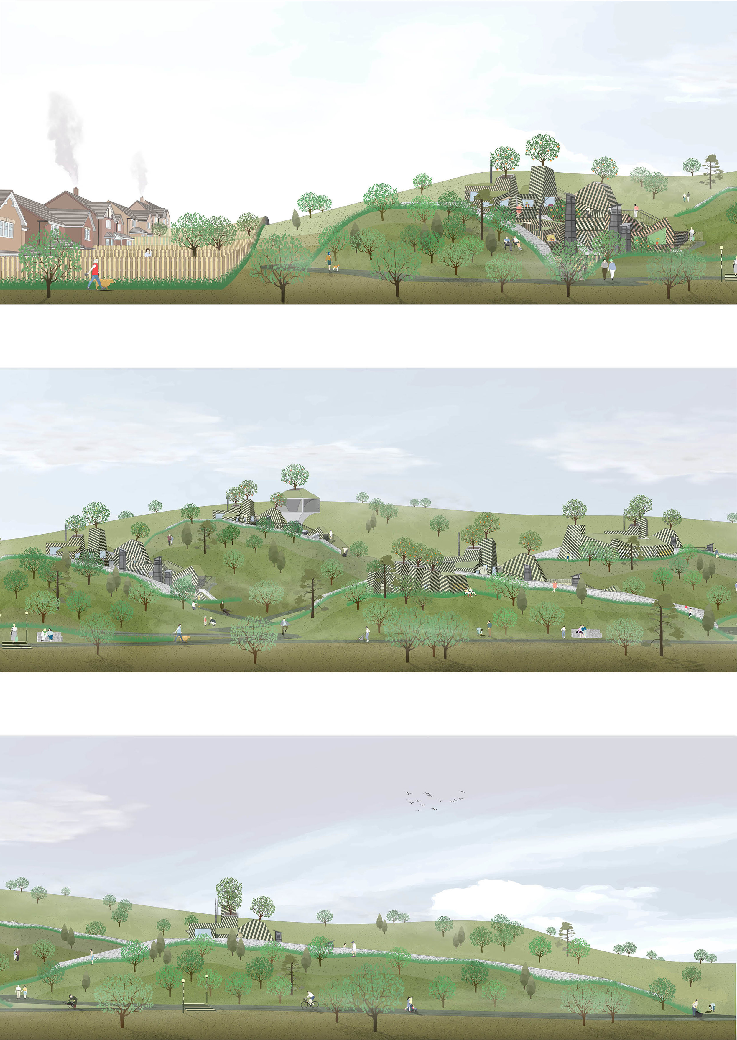
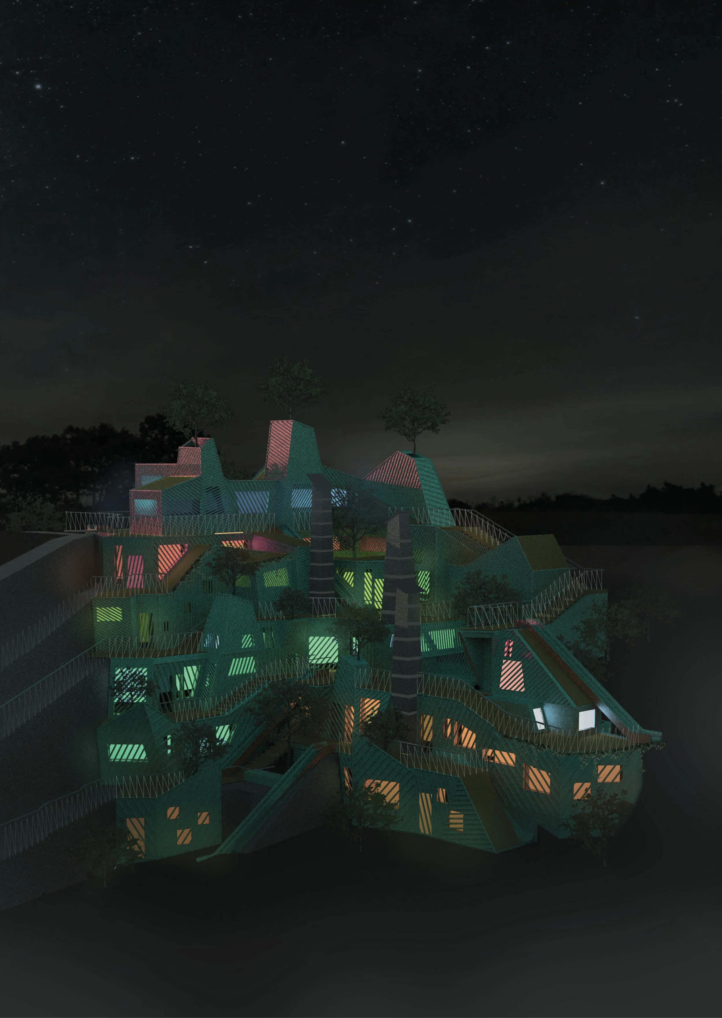
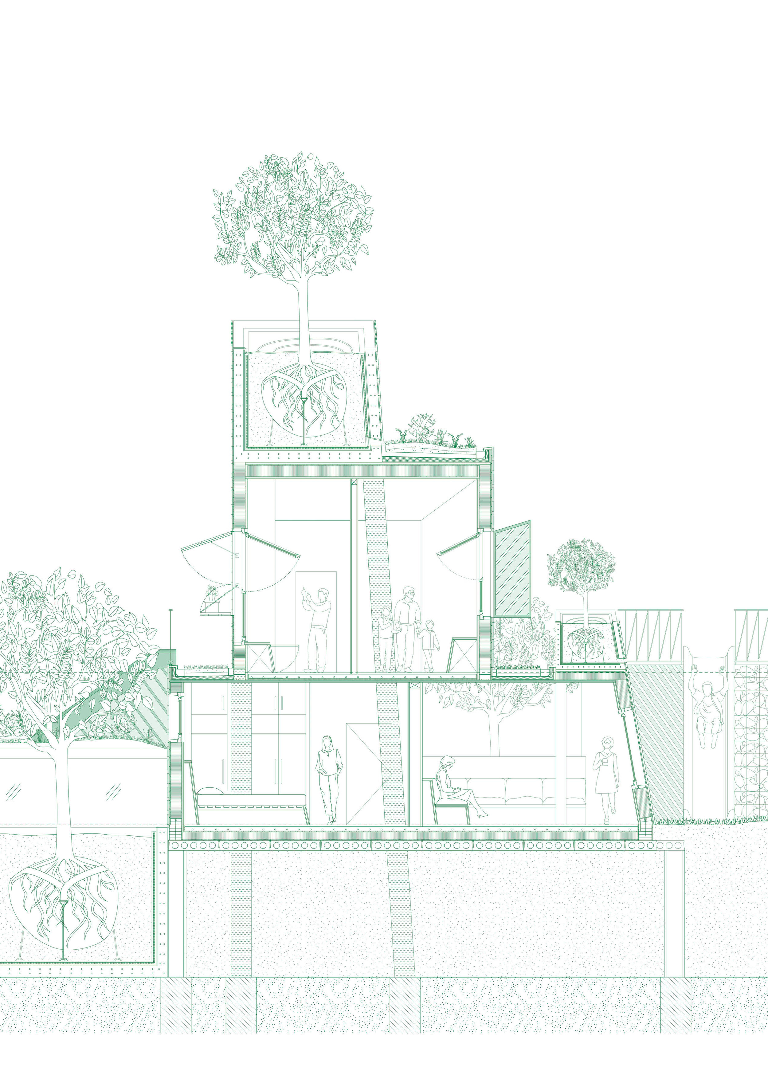
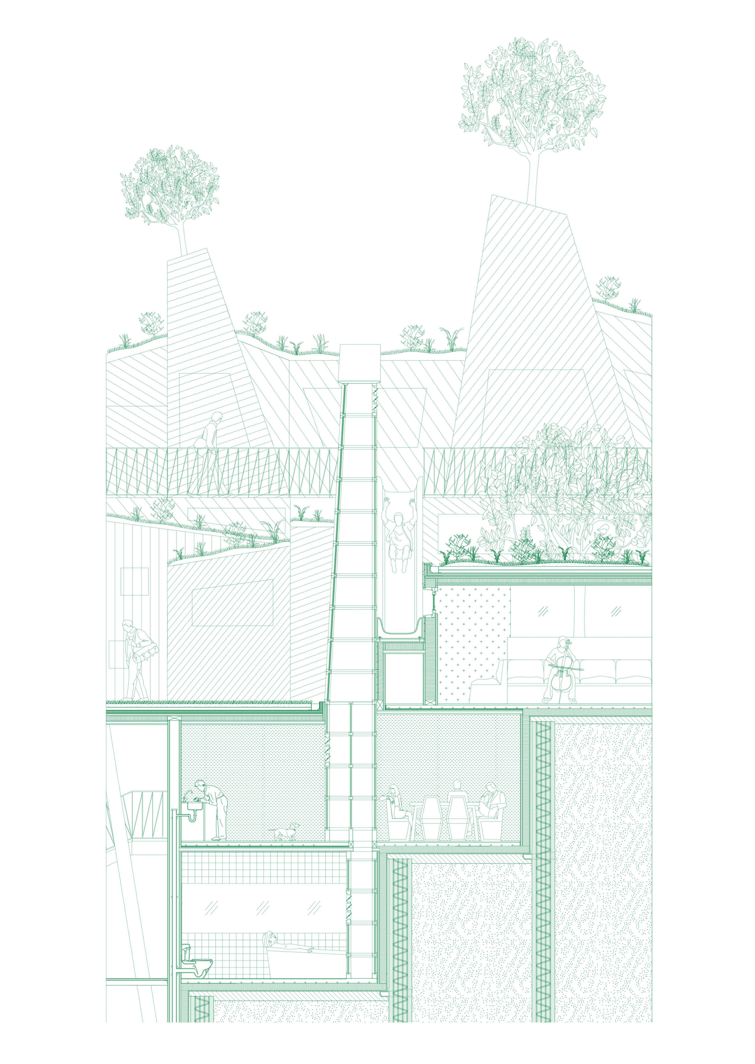
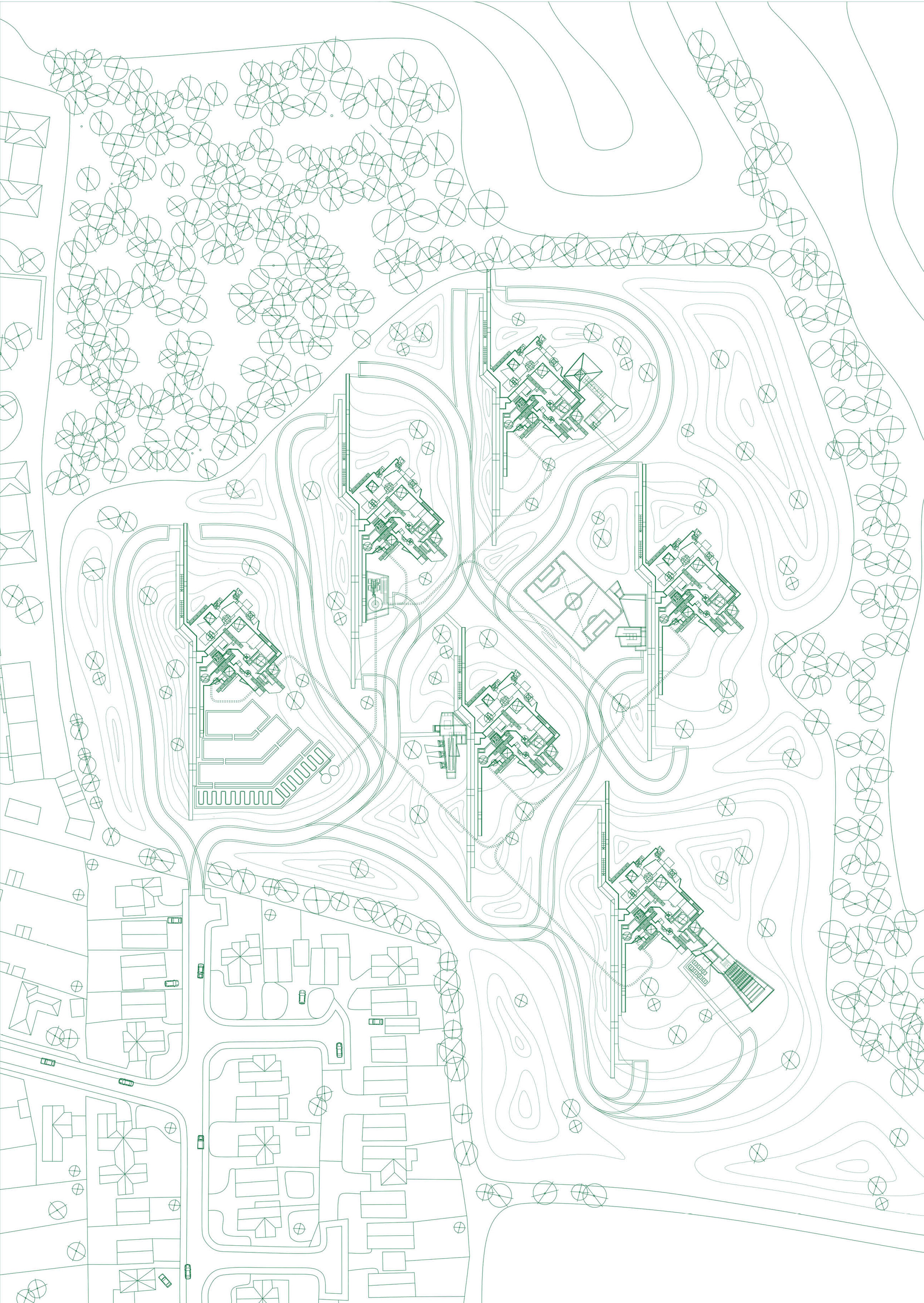
The neoliberal think tank the Adam Smith Institute has proposed that the housing crisis could be eased if 1 million new homes were built over 3.7 percent of Green Belt land. All of this within walking distance of a railway station. A housing scheme is proposed for the East of Epping, on Green Belt land, as a means of presenting a solution to the housing crisis. Much of the opposition to new developments comes down to local residents resenting the degradation of local countryside. The housing adopts disruptive timber patterning and natural vegetation to camouflage the architecture in the landscape, appeasing local residents who fear the loss of their countryside vista and hiding the housing in plain sight within the Green Belt.
